Starting on Shanks Avenue in Whitby, I drove a circle around the camp. These roads are mostly paved now. I dont know why.
Looking down Fink Street, the right side has my grandmothers house, the Allans house and what was the Finks house. The left side of this street has a few of the original homes. Most have been torn down for lumber. Fink Street is one of the remaining center streets in the Whitby camp that can be walked down. I would NOT advise driving. Fink Street is on the Whitby WV Street map which can be seen here.
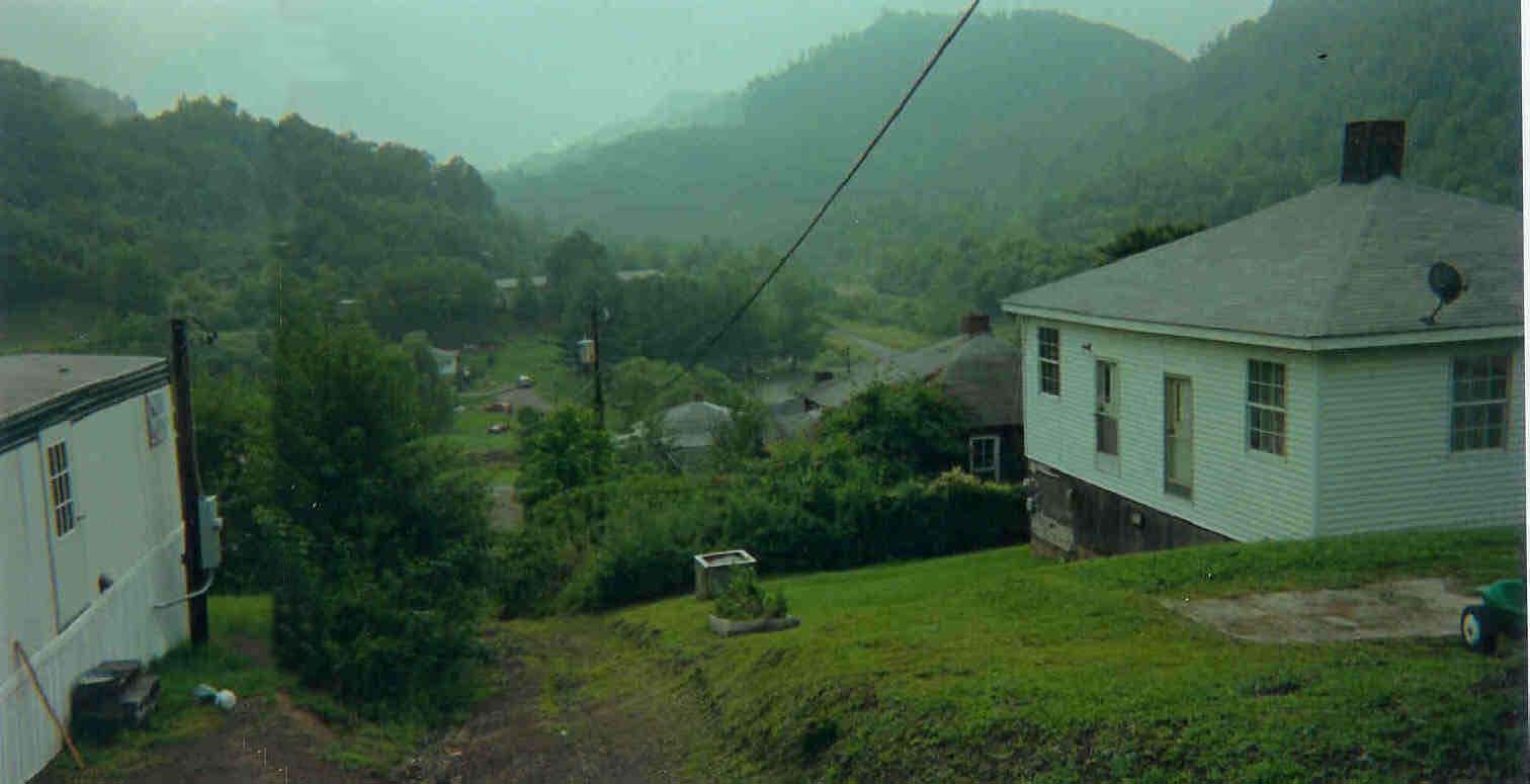
The Table below will have the results of my drive around the immediate Whitby Camp. Each link is a different picture and view. Any Feedback is welcomed and please understand that these pictures were taken with the best intentions and best attempts at privacy. If anybody feels that I have invaded their privacy by posting these pictures, I apologize in advance as this is an attempt to preserve the town of Whitby before the houses were being used for scrap lumber.